Saint Peter & Saint Paul Church, Charing
Introduction
The photograph on this page of Saint Peter & Saint Paul Church, Charing by Stephen Nunney as part of the Geograph project.
The Geograph project started in 2005 with the aim of publishing, organising and preserving representative images for every square kilometre of Great Britain, Ireland and the Isle of Man.

There are currently over 7.5m images from over 14,400 individuals and you can help contribute to the project by visiting https://www.geograph.org.uk
Saint Peter & Saint Paul Church, Charing
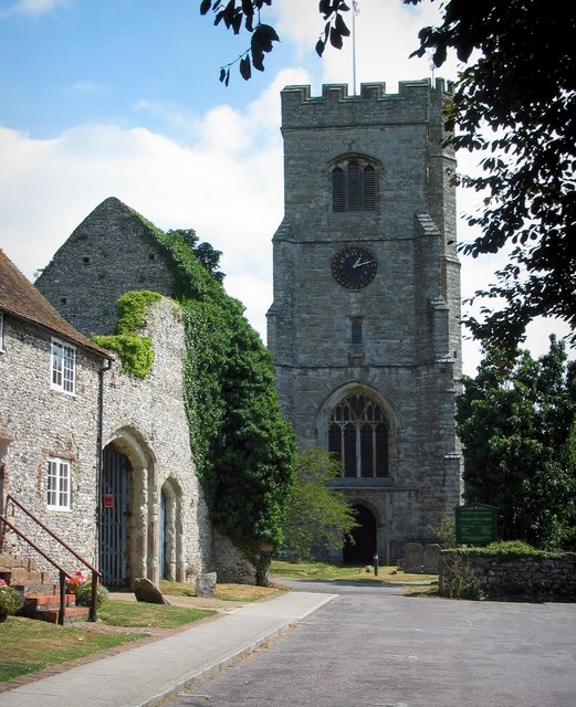
Image: © Stephen Nunney Taken: Unknown
On the left is Palace Farm, which occupies the remains of the Archbishop's Palace.
Images are licensed for reuse under creativecommons.org/licenses/by-sa/2.0
Image Location


Leaflet Map data © OpenStreetMap
Latitude
51.211234
Longitude
0.797609