Green Lane
Introduction
The photograph on this page of Green Lane by David Anstiss as part of the Geograph project.
The Geograph project started in 2005 with the aim of publishing, organising and preserving representative images for every square kilometre of Great Britain, Ireland and the Isle of Man.

There are currently over 7.5m images from over 14,400 individuals and you can help contribute to the project by visiting https://www.geograph.org.uk
Green Lane
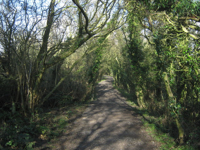
Image: © David Anstiss Taken: 27 Feb 2011
This hedge lined track (classified as a bridleway) leads from New Dover Road towards Capel Street.
Images are licensed for reuse under creativecommons.org/licenses/by-sa/2.0
Image Location
Latitude
51.105449
Longitude
1.214119