Junction of Ty Gwyn Way and Thornhill Road, Cwmbran
Introduction
The photograph on this page of Junction of Ty Gwyn Way and Thornhill Road, Cwmbran by Jaggery as part of the Geograph project.
The Geograph project started in 2005 with the aim of publishing, organising and preserving representative images for every square kilometre of Great Britain, Ireland and the Isle of Man.

There are currently over 7.5m images from over 14,400 individuals and you can help contribute to the project by visiting https://www.geograph.org.uk
Junction of Ty Gwyn Way and Thornhill Road, Cwmbran
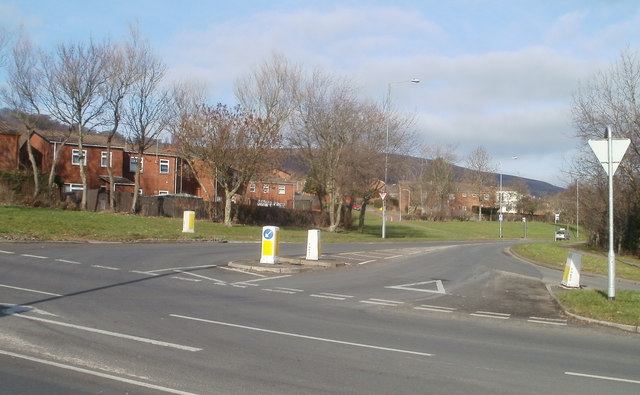
Image: © Jaggery Taken: 30 Jan 2011
Ahead for Thornhill or Upper Cwmbran. Left for Fairwater or Coed Eva. Right for Greenmeadow Community Farm http://www.geograph.org.uk/photo/2287139 or the town centre.
Images are licensed for reuse under creativecommons.org/licenses/by-sa/2.0
Image Location
Latitude
51.65452
Longitude
-3.046514