Shilston Brook valley
Introduction
The photograph on this page of Shilston Brook valley by Derek Harper as part of the Geograph project.
The Geograph project started in 2005 with the aim of publishing, organising and preserving representative images for every square kilometre of Great Britain, Ireland and the Isle of Man.

There are currently over 7.5m images from over 14,400 individuals and you can help contribute to the project by visiting https://www.geograph.org.uk
Shilston Brook valley
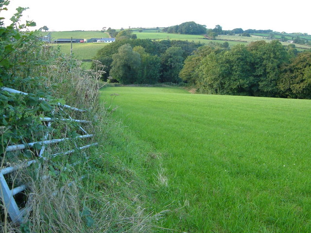
Image: © Derek Harper Taken: 29 Aug 2006
This field is bordered by the lane from Mary Cross to Shilston Bridge on the left, and a tributary of the Shilston Brook in the trees on the right. Across the valley on the left are the modern buildings of Weeke Farm
Images are licensed for reuse under creativecommons.org/licenses/by-sa/2.0
Image Location


Leaflet Map data © OpenStreetMap
Latitude
50.361149
Longitude
-3.869239