Roadworks in Pen-y-garn
Introduction
The photograph on this page of Roadworks in Pen-y-garn by Bill Boaden as part of the Geograph project.
The Geograph project started in 2005 with the aim of publishing, organising and preserving representative images for every square kilometre of Great Britain, Ireland and the Isle of Man.

There are currently over 7.5m images from over 14,400 individuals and you can help contribute to the project by visiting https://www.geograph.org.uk
Roadworks in Pen-y-garn
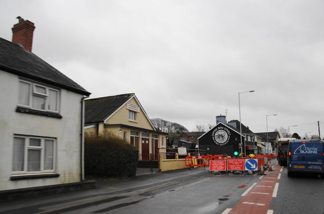
Image: © Bill Boaden Taken: 25 Feb 2011
This is at the northern end of the village of Bow Street, which is spread out along the A487.
Images are licensed for reuse under creativecommons.org/licenses/by-sa/2.0
Image Location
Latitude
52.45072
Longitude
-4.020194