Top end of Hill Street, Abercarn
Introduction
The photograph on this page of Top end of Hill Street, Abercarn by Jaggery as part of the Geograph project.
The Geograph project started in 2005 with the aim of publishing, organising and preserving representative images for every square kilometre of Great Britain, Ireland and the Isle of Man.

There are currently over 7.5m images from over 14,400 individuals and you can help contribute to the project by visiting https://www.geograph.org.uk
Top end of Hill Street, Abercarn
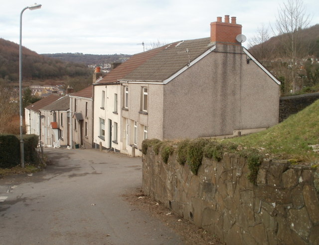
Image: © Jaggery Taken: 24 Jan 2011
A path http://www.geograph.org.uk/photo/2286549 from Abercarn cemetery reaches houses at the top (east) end of Hill Street.
Images are licensed for reuse under creativecommons.org/licenses/by-sa/2.0
Image Location
Latitude
51.653743
Longitude
-3.130338