Newport: north end of High Street
Introduction
The photograph on this page of Newport: north end of High Street by Chris Downer as part of the Geograph project.
The Geograph project started in 2005 with the aim of publishing, organising and preserving representative images for every square kilometre of Great Britain, Ireland and the Isle of Man.

There are currently over 7.5m images from over 14,400 individuals and you can help contribute to the project by visiting https://www.geograph.org.uk
Newport: north end of High Street
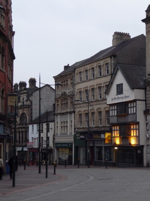
Image: © Chris Downer Taken: 20 Feb 2011
High Street curves at its northern end to meet Upper Dock Street behind us. Among the buildings visible here is the Olde Murenger House, Newport's oldest pub - a Grade II listed building wporting its original 16th century beams.
Images are licensed for reuse under creativecommons.org/licenses/by-sa/2.0
Image Location
Latitude
51.589311
Longitude
-2.997091