Pasture in the valley bottom
Introduction
The photograph on this page of Pasture in the valley bottom by Rod Allday as part of the Geograph project.
The Geograph project started in 2005 with the aim of publishing, organising and preserving representative images for every square kilometre of Great Britain, Ireland and the Isle of Man.

There are currently over 7.5m images from over 14,400 individuals and you can help contribute to the project by visiting https://www.geograph.org.uk
Pasture in the valley bottom
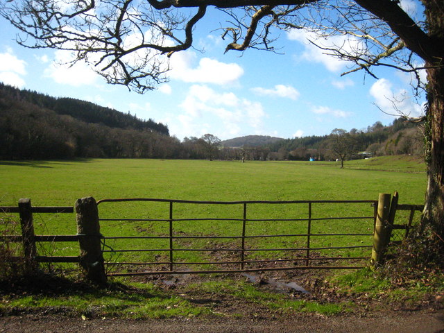
Image: © Rod Allday Taken: 26 Feb 2011
On the flood plain of the River Fowey, which flows along the edge of the trees on the left of the picture.
Images are licensed for reuse under creativecommons.org/licenses/by-sa/2.0
Image Location


Leaflet Map data © OpenStreetMap
Latitude
50.456348
Longitude
-4.637733