Andover Road
Introduction
The photograph on this page of Andover Road by Ian Capper as part of the Geograph project.
The Geograph project started in 2005 with the aim of publishing, organising and preserving representative images for every square kilometre of Great Britain, Ireland and the Isle of Man.

There are currently over 7.5m images from over 14,400 individuals and you can help contribute to the project by visiting https://www.geograph.org.uk
Andover Road
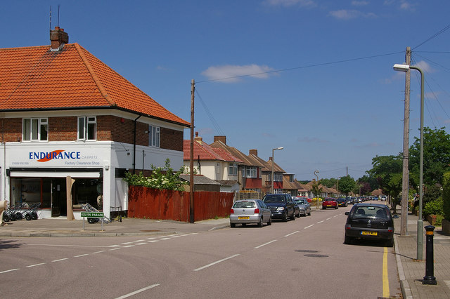
Image: © Ian Capper Taken: 16 Jun 2010
1940s/50s housing. On the left is Kelvin Parade, once a parade of local shops, now serving the local building contractors (see Image).
Images are licensed for reuse under creativecommons.org/licenses/by-sa/2.0
Image Location
Latitude
51.37464
Longitude
0.083217