Chilbrook Road
Introduction
The photograph on this page of Chilbrook Road by Colin Smith as part of the Geograph project.
The Geograph project started in 2005 with the aim of publishing, organising and preserving representative images for every square kilometre of Great Britain, Ireland and the Isle of Man.

There are currently over 7.5m images from over 14,400 individuals and you can help contribute to the project by visiting https://www.geograph.org.uk
Chilbrook Road
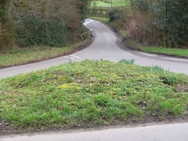
Image: © Colin Smith Taken: 27 Feb 2011
The road is more of a country lane. Here it joins Plough Lane at a grassy triangle.
Images are licensed for reuse under creativecommons.org/licenses/by-sa/2.0
Image Location
Latitude
51.31353
Longitude
-0.421662