Walled Garden, Downside
Introduction
The photograph on this page of Walled Garden, Downside by Colin Smith as part of the Geograph project.
The Geograph project started in 2005 with the aim of publishing, organising and preserving representative images for every square kilometre of Great Britain, Ireland and the Isle of Man.

There are currently over 7.5m images from over 14,400 individuals and you can help contribute to the project by visiting https://www.geograph.org.uk
Walled Garden, Downside
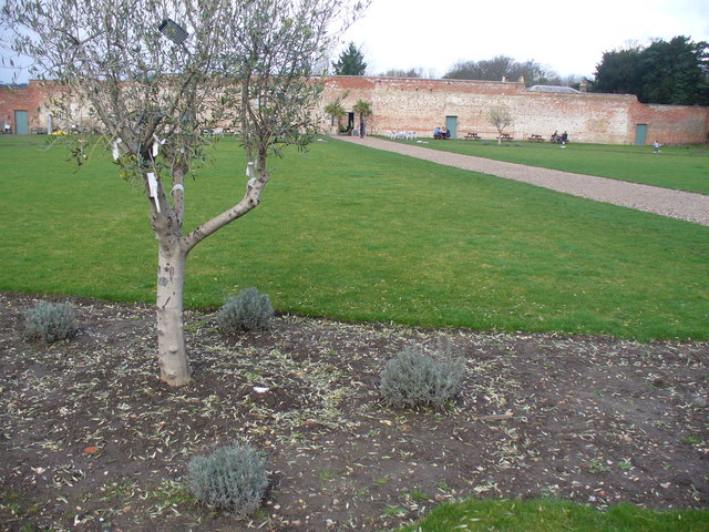
Image: © Colin Smith Taken: 27 Feb 2011
Today, this is the "Medicine Garden" and is a popular open air cafe too. The walled garden is on Downside road, opposite the Cobham Park mansion.
Images are licensed for reuse under creativecommons.org/licenses/by-sa/2.0
Image Location
Latitude
51.320949
Longitude
-0.411649