Entering Boverton from the west
Introduction
The photograph on this page of Entering Boverton from the west by Mick Lobb as part of the Geograph project.
The Geograph project started in 2005 with the aim of publishing, organising and preserving representative images for every square kilometre of Great Britain, Ireland and the Isle of Man.

There are currently over 7.5m images from over 14,400 individuals and you can help contribute to the project by visiting https://www.geograph.org.uk
Entering Boverton from the west
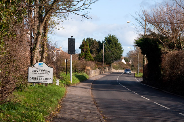
Image: © Mick Lobb Taken: 26 Feb 2011
Development of the nearby airfield, now in the penultimate stages of its long and useful life as a military base, promoted expansion of the village and nearby Llantwit Major to the extent that their borders seem no longer to exist. Such is the case now when more and more people seek land to live on with the result that there will no longer be enough available to meet their basic need for agricultural use. To the right of the village sign a speed warning device that has replaced the speed trap camera that was a short lived attempt to slow traffic - prosaically beside the local cemetery.
Images are licensed for reuse under creativecommons.org/licenses/by-sa/2.0
Image Location
Latitude
51.406718
Longitude
-3.472174