Mutton Brook in Hendon
Introduction
The photograph on this page of Mutton Brook in Hendon by Nigel Cox as part of the Geograph project.
The Geograph project started in 2005 with the aim of publishing, organising and preserving representative images for every square kilometre of Great Britain, Ireland and the Isle of Man.

There are currently over 7.5m images from over 14,400 individuals and you can help contribute to the project by visiting https://www.geograph.org.uk
Mutton Brook in Hendon
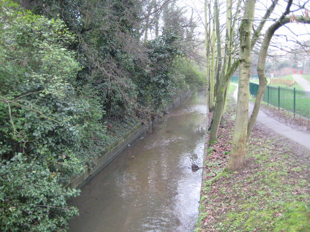
Image: © Nigel Cox Taken: 20 Feb 2011
This is Mutton Brook shortly, about 100 metres, before it merges with Dollis Brook to form the River Brent, and about 50 metres downstream of Image Old Victorian Ordnance Survey maps show that the buildings of the long lost Decoy Farm were on the bank to the left here.
Images are licensed for reuse under creativecommons.org/licenses/by-sa/2.0
Image Location
Latitude
51.58728
Longitude
-0.210246