The Loopline
Introduction
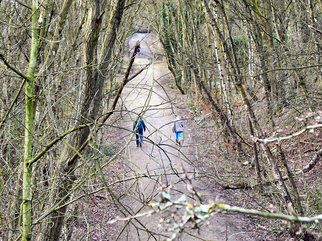
The photograph on this page of The Loopline by David Dixon as part of the Geograph project.
The Geograph project started in 2005 with the aim of publishing, organising and preserving representative images for every square kilometre of Great Britain, Ireland and the Isle of Man.
There are currently over 7.5m images from over 14,400 individuals and you can help contribute to the project by visiting https://www.geograph.org.uk

Image: © David Dixon Taken: 24 Feb 2011
The Tyldesley Loopline was the Manchester and Wigan Railway line from Eccles to the junction west of Tyldesley station and its continuance south west via Bedford Leigh to Kenyon Junction. The line opened on September 1st 1864 with a branch line leaving the Tyldesley to Eccles line at Roe Green with stations at Walkden, Little Hulton and Plodder Lane was opening in 1870. The line closed in 1969. The former trackbed which passes through the Wigan MBC area was reserved in the Unitary Development Plan in case the rail route could be reinstated. Salford City Council has used the trackbed of the railway for recreational purposes turning it into a rail trail, part of which can be seen here at Roe Green.

