Southern boundary of Neath
Introduction
The photograph on this page of Southern boundary of Neath by Jaggery as part of the Geograph project.
The Geograph project started in 2005 with the aim of publishing, organising and preserving representative images for every square kilometre of Great Britain, Ireland and the Isle of Man.

There are currently over 7.5m images from over 14,400 individuals and you can help contribute to the project by visiting https://www.geograph.org.uk
Southern boundary of Neath
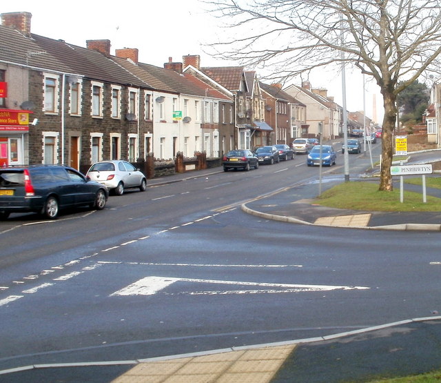
Image: © Jaggery Taken: 19 Feb 2011
The Penrhiwtyn name sign on the corner of Penrhiwtyn Drive and Pantyrheol (A474) marks the southern boundary of Neath. Behind the camera is Briton Ferry.
Images are licensed for reuse under creativecommons.org/licenses/by-sa/2.0
Image Location
Latitude
51.644207
Longitude
-3.81806