Track near Reagh Island, Strangford Lough
Introduction
The photograph on this page of Track near Reagh Island, Strangford Lough by Albert Bridge as part of the Geograph project.
The Geograph project started in 2005 with the aim of publishing, organising and preserving representative images for every square kilometre of Great Britain, Ireland and the Isle of Man.

There are currently over 7.5m images from over 14,400 individuals and you can help contribute to the project by visiting https://www.geograph.org.uk
Track near Reagh Island, Strangford Lough
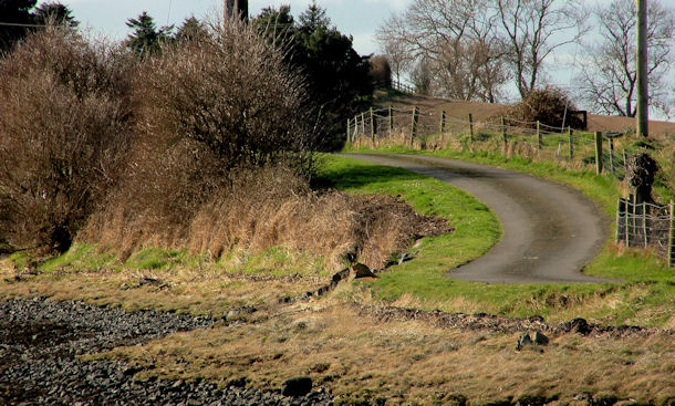
Image: © Albert Bridge Taken: 26 Feb 2011
A track, running from the Ringneill Road Image towards Rolly Island. The Google map bears little resemblance to the OS map.
Images are licensed for reuse under creativecommons.org/licenses/by-sa/2.0
Image Location
Latitude
54.512513
Longitude
-5.650523