Railway, filling station and road, Melin Cryddan, Neath
Introduction
The photograph on this page of Railway, filling station and road, Melin Cryddan, Neath by Jaggery as part of the Geograph project.
The Geograph project started in 2005 with the aim of publishing, organising and preserving representative images for every square kilometre of Great Britain, Ireland and the Isle of Man.

There are currently over 7.5m images from over 14,400 individuals and you can help contribute to the project by visiting https://www.geograph.org.uk
Railway, filling station and road, Melin Cryddan, Neath
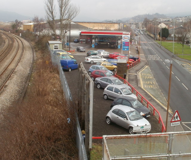
Image: © Jaggery Taken: 19 Feb 2011
The view east from a railway footbridge http://www.geograph.org.uk/photo/2283646 An Esso filling station is located between the South Wales main railway line and the A474, here named Mile End Row. In the foreground, a sign next to the school sign marks the boundary of the Melin Cryddan district of Neath.
Images are licensed for reuse under creativecommons.org/licenses/by-sa/2.0
Image Location
Latitude
51.651464
Longitude
-3.814013