Denant Mill
Introduction
The photograph on this page of Denant Mill by Deborah Tilley as part of the Geograph project.
The Geograph project started in 2005 with the aim of publishing, organising and preserving representative images for every square kilometre of Great Britain, Ireland and the Isle of Man.

There are currently over 7.5m images from over 14,400 individuals and you can help contribute to the project by visiting https://www.geograph.org.uk
Denant Mill
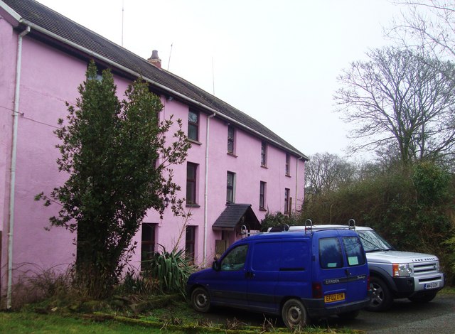
Image: © Deborah Tilley Taken: 20 Feb 2011
Denant Mill was built in 1592 and operated as a grain mill until the 1950s. The property was purchased by the local authority in the 60s as the valley was to be flooded for a reservoir. This never happened and the property was developed as a restaurant and guest house in the 1990's. Now a private dwelling.
Images are licensed for reuse under creativecommons.org/licenses/by-sa/2.0
Image Location
Latitude
51.782424
Longitude
-5.012096