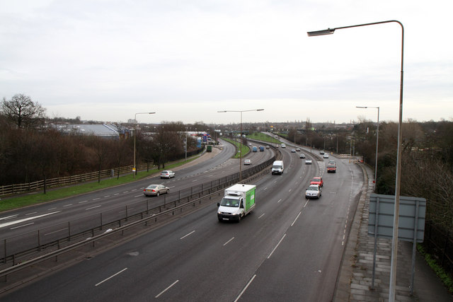
A406 - North Circular Road
Introduction
The photograph on this page of A406 - North Circular Road by Martin Addison as part of the Geograph project.
The Geograph project started in 2005 with the aim of publishing, organising and preserving representative images for every square kilometre of Great Britain, Ireland and the Isle of Man.
There are currently over 7.5m images from over 14,400 individuals and you can help contribute to the project by visiting https://www.geograph.org.uk

Image: © Martin Addison Taken: 24 Feb 2011
Seen from Coppetts Wood footbridge. The slip roads leading up to the B550, Colney Hatch Lane, are visible - the one on the right is called Bobby Moore Way, presumably because of the Powerleague football centre that is accessed from it. On the left are industrial units and, beyond, the Colney Hatch Tesco superstore.

