Hedged fields east of the Greencastle Road
Introduction
The photograph on this page of Hedged fields east of the Greencastle Road by Eric Jones as part of the Geograph project.
The Geograph project started in 2005 with the aim of publishing, organising and preserving representative images for every square kilometre of Great Britain, Ireland and the Isle of Man.

There are currently over 7.5m images from over 14,400 individuals and you can help contribute to the project by visiting https://www.geograph.org.uk
Hedged fields east of the Greencastle Road
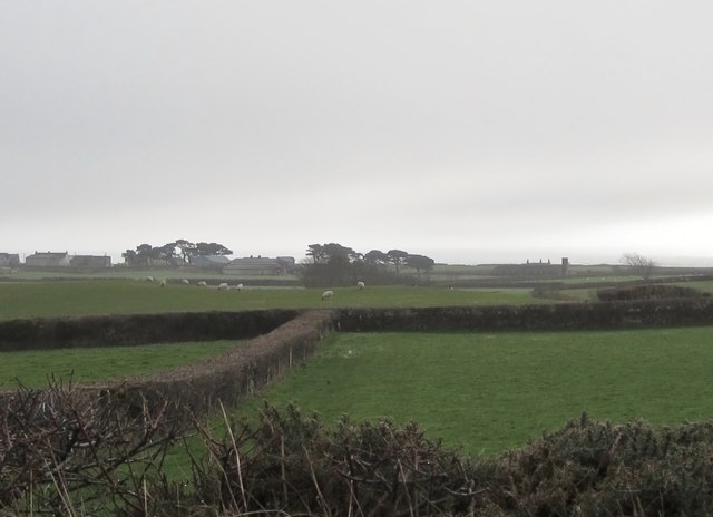
Image: © Eric Jones Taken: 19 Feb 2011
The soils in this area are very sandy and lack stones for wall building. Traditionally. hedges have been used to form field boundaries. Ruined buildings from the days of RAF (later USAAF) Greencastle can be seen in the background right.
Images are licensed for reuse under creativecommons.org/licenses/by-sa/2.0
Image Location
Latitude
54.053041
Longitude
-6.018628