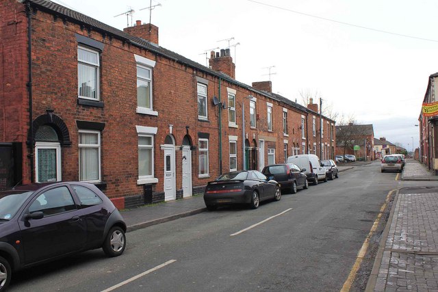
Hope Street, Crewe
Introduction
The photograph on this page of Hope Street, Crewe by David P Howard as part of the Geograph project.
The Geograph project started in 2005 with the aim of publishing, organising and preserving representative images for every square kilometre of Great Britain, Ireland and the Isle of Man.
There are currently over 7.5m images from over 14,400 individuals and you can help contribute to the project by visiting https://www.geograph.org.uk

Image: © David P Howard Taken: 25 Feb 2011
In three of the terraced houses in this block of ten, lived as tenants, my Grandparents, Great Aunt and Uncle, and Aunt and Uncle. There were no bathrooms. The only sanitation was a privy at the bottom of the back garden which adjoined an alley way. This was originally emptied by the nightsoil men, but the privies had been converted to flushing toilets by the time I had to use them. It was still a cold walk down the garden in the winter. Bath time was once a week in a galvanised steel bath in front of the coal fire in the living room, filled up by heating water on the stove in pans. I can remember having to use this on the odd occasion I stayed. Current social mobility means that three members of the same extended family now rarely live in the same street; but for these people it was normal.
Image Location


