Kersal, Moor Lane
Introduction
The photograph on this page of Kersal, Moor Lane by David Dixon as part of the Geograph project.
The Geograph project started in 2005 with the aim of publishing, organising and preserving representative images for every square kilometre of Great Britain, Ireland and the Isle of Man.

There are currently over 7.5m images from over 14,400 individuals and you can help contribute to the project by visiting https://www.geograph.org.uk
Kersal, Moor Lane
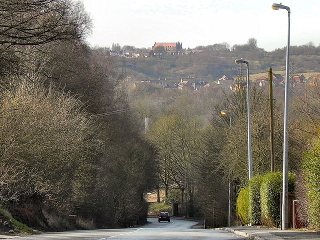
Image: © David Dixon Taken: 24 Feb 2011
Looking down the hill at Moor Lane, towards Kersal Vale. On the other side of the valley, are signs of the newish building development near to the site of the former Agecroft Colliery.
Images are licensed for reuse under creativecommons.org/licenses/by-sa/2.0
Image Location
Latitude
53.513075
Longitude
-2.28693