Bethel Elim Church, Neath
Introduction
The photograph on this page of Bethel Elim Church, Neath by Jaggery as part of the Geograph project.
The Geograph project started in 2005 with the aim of publishing, organising and preserving representative images for every square kilometre of Great Britain, Ireland and the Isle of Man.

There are currently over 7.5m images from over 14,400 individuals and you can help contribute to the project by visiting https://www.geograph.org.uk
Bethel Elim Church, Neath
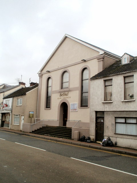
Image: © Jaggery Taken: 19 Feb 2011
Before moving to this site on Briton Ferry Road in 1949, the congregation met at various locations, including Gwyn Hall, the Town Hall, The Moose Hall (Water Street), Charles Street and Marshfield Road. The name in the title is the one showing on the wall of the building. The name in the glass above the entrance doorway is Neath's Elim Pentecostal Church.
Images are licensed for reuse under creativecommons.org/licenses/by-sa/2.0
Image Location
Latitude
51.655148
Longitude
-3.808378