Cornmarket, Pontefract
Introduction
The photograph on this page of Cornmarket, Pontefract by Bill Henderson as part of the Geograph project.
The Geograph project started in 2005 with the aim of publishing, organising and preserving representative images for every square kilometre of Great Britain, Ireland and the Isle of Man.

There are currently over 7.5m images from over 14,400 individuals and you can help contribute to the project by visiting https://www.geograph.org.uk
Cornmarket, Pontefract
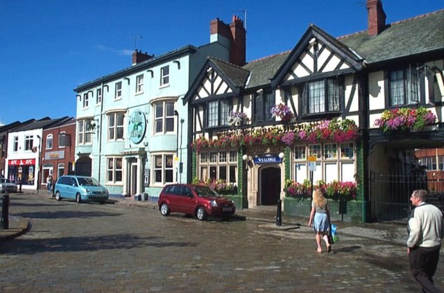
Image: © Bill Henderson Taken: 29 Aug 2006
The Blackamoor Head Public House ( The half timbered building on the right) and the Green Dragon Public House next door.
Images are licensed for reuse under creativecommons.org/licenses/by-sa/2.0
Image Location
Latitude
53.687978
Longitude
-1.312503