Church of St Paul, Hammersmith
Introduction
The photograph on this page of Church of St Paul, Hammersmith by Robert Lamb as part of the Geograph project.
The Geograph project started in 2005 with the aim of publishing, organising and preserving representative images for every square kilometre of Great Britain, Ireland and the Isle of Man.

There are currently over 7.5m images from over 14,400 individuals and you can help contribute to the project by visiting https://www.geograph.org.uk
Church of St Paul, Hammersmith
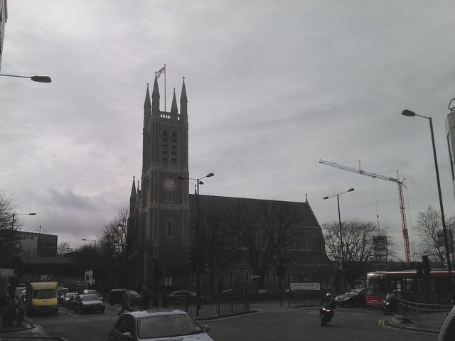
Image: © Robert Lamb Taken: 24 Feb 2011
The Church of St Paul looks to have very recently been revamped, as the Google Streetview of the location http://www.google.co.uk/maps?f=q&source=s_q&hl=en&geocode=&q=hammersmith&aq=&sll=51.479392,-0.247965&sspn=0.009448,0.030534&ie=UTF8&hq=&hnear=Hammersmith,+Greater+London,+United+Kingdom&ll=51.491538,-0.224791&spn=0.008497,0.061069&z=15&layer=c&cbll=51.491552,-0.224776&panoid=qfNkU6Zvwnm5izreIsf3PQ&cbp=11,311.09,,0,-0.44 shows the church in scaffolding and plastic sheeting. View taken looking southwest from Hammersmith Bridge Road, at its junction with Queen Caroline Street.
Images are licensed for reuse under creativecommons.org/licenses/by-sa/2.0
Image Location
Latitude
51.49183
Longitude
-0.225367