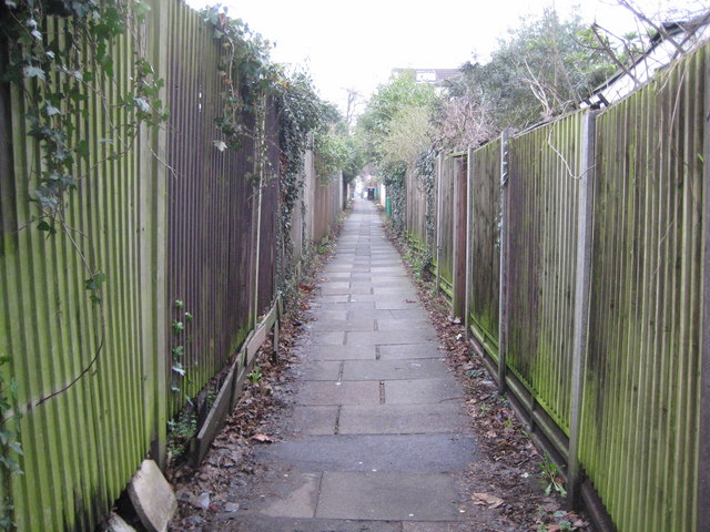
Finchley: Lovers' Walk
Introduction
The photograph on this page of Finchley: Lovers' Walk by Nigel Cox as part of the Geograph project.
The Geograph project started in 2005 with the aim of publishing, organising and preserving representative images for every square kilometre of Great Britain, Ireland and the Isle of Man.
There are currently over 7.5m images from over 14,400 individuals and you can help contribute to the project by visiting https://www.geograph.org.uk

Image: © Nigel Cox Taken: 20 Feb 2011
A glance at old Victorian large scale Ordnance Survey maps shows that a public right of way between Ballard's Lane and Nether Street, and called Lovers' Walk, existed through here long before the railway, the houses and Wentworth Avenue were ever built. It still offers a link between the fleshpots of Ballard's Lane and the houses to the west, such attractions evidently proving too much for one Saturday night reveller, whose regurgitated chicken tikka masala presented an obstruction to shipping on the Sunday morning, fortunately for those of a fragile nature reading this, some way in the distance ahead.

