The Crowgreaves
Introduction
The photograph on this page of The Crowgreaves by Richard Law as part of the Geograph project.
The Geograph project started in 2005 with the aim of publishing, organising and preserving representative images for every square kilometre of Great Britain, Ireland and the Isle of Man.

There are currently over 7.5m images from over 14,400 individuals and you can help contribute to the project by visiting https://www.geograph.org.uk
The Crowgreaves
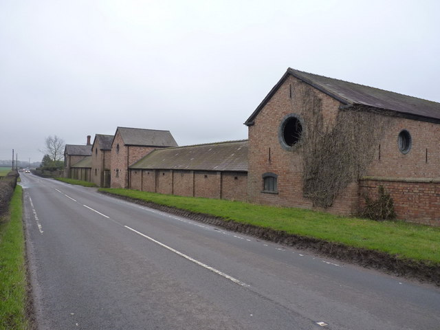
Image: © Richard Law Taken: 19 Feb 2011
A view of the side of the farm buildings, facing onto the B4176 Rabbit Run road. The round aperture in the nearest gable struck me as being the biggest owl hole I've ever seen.
Images are licensed for reuse under creativecommons.org/licenses/by-sa/2.0
Image Location
Latitude
52.592083
Longitude
-2.371951