Valley leading down to Limbutts Building
Introduction
The photograph on this page of Valley leading down to Limbutts Building by Richard Law as part of the Geograph project.
The Geograph project started in 2005 with the aim of publishing, organising and preserving representative images for every square kilometre of Great Britain, Ireland and the Isle of Man.

There are currently over 7.5m images from over 14,400 individuals and you can help contribute to the project by visiting https://www.geograph.org.uk
Valley leading down to Limbutts Building
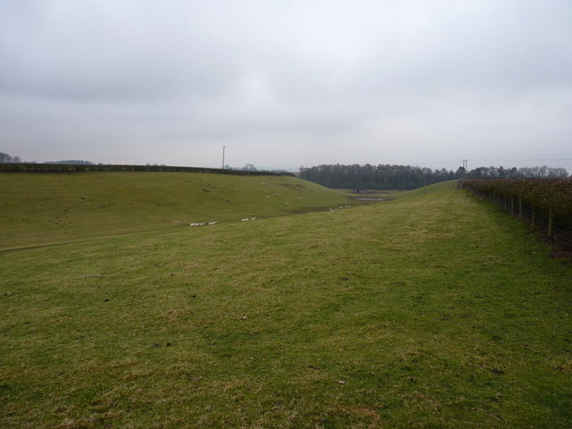
Image: © Richard Law Taken: 19 Feb 2011
The valley appears to have no name, probably because it has no stream, but it contains a farm track which leads to the oddly-named Limbutts Building, the barn in the distance.
Images are licensed for reuse under creativecommons.org/licenses/by-sa/2.0
Image Location
Latitude
52.586242
Longitude
-2.371163