Field, Lower Lackgie
Introduction
The photograph on this page of Field, Lower Lackgie by Mick Garratt as part of the Geograph project.
The Geograph project started in 2005 with the aim of publishing, organising and preserving representative images for every square kilometre of Great Britain, Ireland and the Isle of Man.

There are currently over 7.5m images from over 14,400 individuals and you can help contribute to the project by visiting https://www.geograph.org.uk
Field, Lower Lackgie
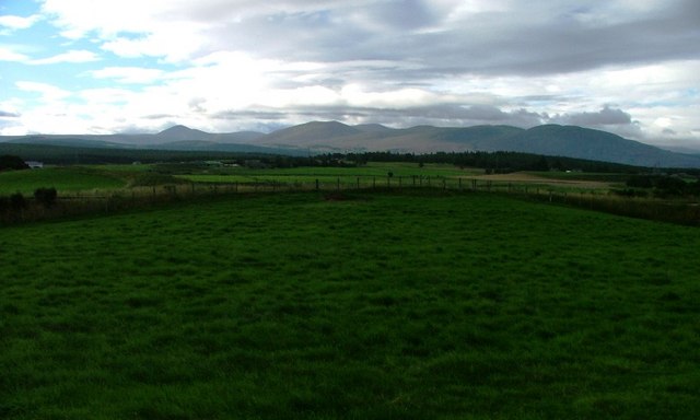
Image: © Mick Garratt Taken: 27 Aug 2006
Pasture land sandwiched between the road and the railway but within the grid square.
Images are licensed for reuse under creativecommons.org/licenses/by-sa/2.0
Image Location
Latitude
57.266884
Longitude
-3.726055