Hambrook Hill
Introduction
The photograph on this page of Hambrook Hill by Simon Carey as part of the Geograph project.
The Geograph project started in 2005 with the aim of publishing, organising and preserving representative images for every square kilometre of Great Britain, Ireland and the Isle of Man.

There are currently over 7.5m images from over 14,400 individuals and you can help contribute to the project by visiting https://www.geograph.org.uk
Hambrook Hill
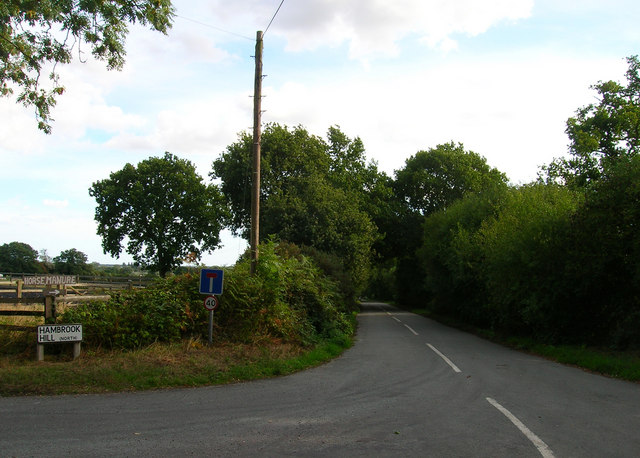
Image: © Simon Carey Taken: 28 Aug 2006
A road split in two by the A27 dual carriageway. This is the northern section.
Images are licensed for reuse under creativecommons.org/licenses/by-sa/2.0
Image Location
Latitude
50.858966
Longitude
-0.883206