A467 viewed from Wesley Bridge, Nantyglo
Introduction
The photograph on this page of A467 viewed from Wesley Bridge, Nantyglo by Jaggery as part of the Geograph project.
The Geograph project started in 2005 with the aim of publishing, organising and preserving representative images for every square kilometre of Great Britain, Ireland and the Isle of Man.

There are currently over 7.5m images from over 14,400 individuals and you can help contribute to the project by visiting https://www.geograph.org.uk
A467 viewed from Wesley Bridge, Nantyglo
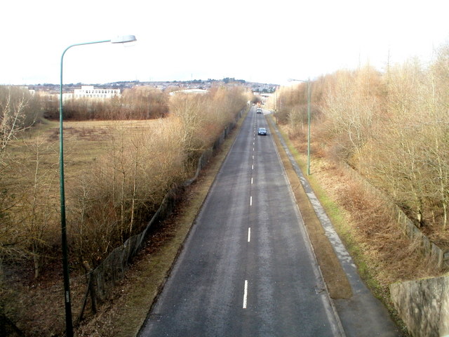
Image: © Jaggery Taken: 3 Feb 2011
The view NNW from Wesley Bridge. http://www.geograph.org.uk/photo/469402 The white building in the distance on the left is part of Nantyglo High School.
Images are licensed for reuse under creativecommons.org/licenses/by-sa/2.0
Image Location
Latitude
51.790867
Longitude
-3.175811