Moorland viewed from Waun Ebbw Road, Nantyglo
Introduction
The photograph on this page of Moorland viewed from Waun Ebbw Road, Nantyglo by Jaggery as part of the Geograph project.
The Geograph project started in 2005 with the aim of publishing, organising and preserving representative images for every square kilometre of Great Britain, Ireland and the Isle of Man.

There are currently over 7.5m images from over 14,400 individuals and you can help contribute to the project by visiting https://www.geograph.org.uk
Moorland viewed from Waun Ebbw Road, Nantyglo
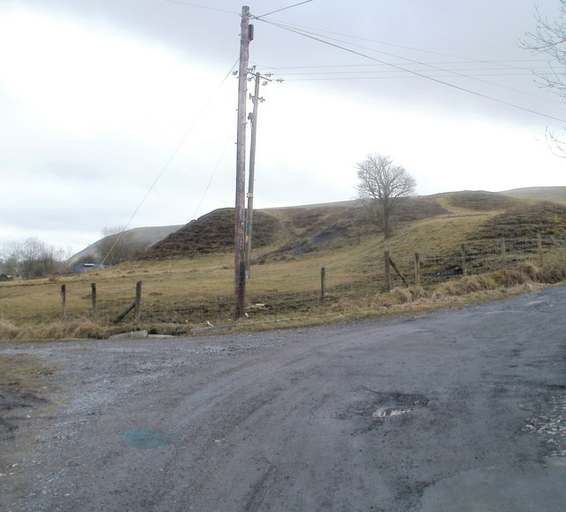
Image: © Jaggery Taken: 3 Feb 2011
Houses on the southern section of Waun Ebbw Road http://www.geograph.org.uk/photo/2281094 have this view of former mining waste tips, at an elevation of about 350 metres (1150 feet) above sea level.
Images are licensed for reuse under creativecommons.org/licenses/by-sa/2.0
Image Location
Latitude
51.786358
Longitude
-3.177144