Wheat beside Broadoak Road
Introduction
The photograph on this page of Wheat beside Broadoak Road by Penny Mayes as part of the Geograph project.
The Geograph project started in 2005 with the aim of publishing, organising and preserving representative images for every square kilometre of Great Britain, Ireland and the Isle of Man.

There are currently over 7.5m images from over 14,400 individuals and you can help contribute to the project by visiting https://www.geograph.org.uk
Wheat beside Broadoak Road
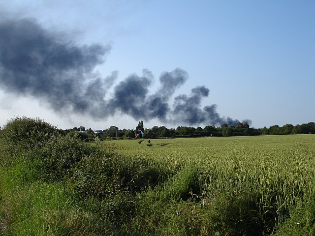
Image: © Penny Mayes Taken: 30 Jun 2006
The buildings partially hidden by trees on the left are on the Kent Science Park (formerly Shell Research). The fire was on a building site near Sittingbourne Memorial Hospital about 3km away.
Images are licensed for reuse under creativecommons.org/licenses/by-sa/2.0
Image Location
Latitude
51.309059
Longitude
0.730373