Eastern end of Balls Farm Road
Introduction
The photograph on this page of Eastern end of Balls Farm Road by Oliver Dixon as part of the Geograph project.
The Geograph project started in 2005 with the aim of publishing, organising and preserving representative images for every square kilometre of Great Britain, Ireland and the Isle of Man.

There are currently over 7.5m images from over 14,400 individuals and you can help contribute to the project by visiting https://www.geograph.org.uk
Eastern end of Balls Farm Road
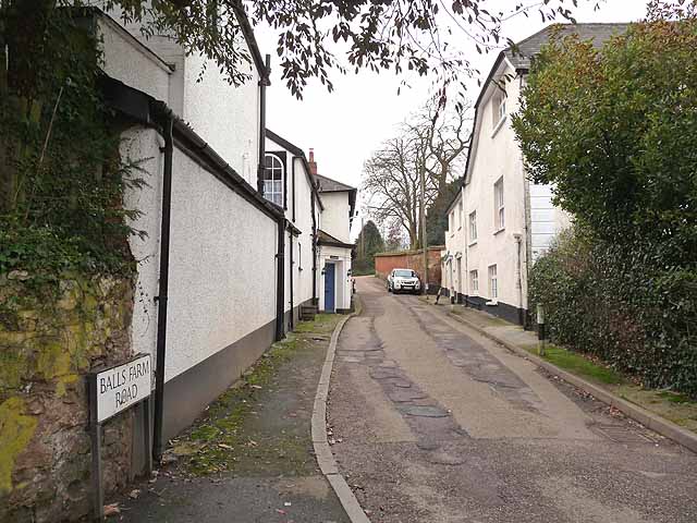
Image: © Oliver Dixon Taken: 20 Feb 2011
Balls Farm Road forms a very quiet, attractive route for cyclists and pedestrians only from the village of Ide in towards Exeter. At this point, however, the way gives out onto the hideously busy Alphington Road and interchange for Sainsbury's.
Images are licensed for reuse under creativecommons.org/licenses/by-sa/2.0
Image Location
Latitude
50.704593
Longitude
-3.539431