Direction signs, Donaghadee
Introduction
The photograph on this page of Direction signs, Donaghadee by Albert Bridge as part of the Geograph project.
The Geograph project started in 2005 with the aim of publishing, organising and preserving representative images for every square kilometre of Great Britain, Ireland and the Isle of Man.

There are currently over 7.5m images from over 14,400 individuals and you can help contribute to the project by visiting https://www.geograph.org.uk
Direction signs, Donaghadee
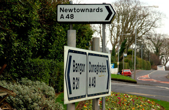
Image: © Albert Bridge Taken: 22 Feb 2011
Black-bordered signs, with a white background, giving directions on a non-primary road. In this case a staggered crossroads at New Road (left), Moat Street (ahead), the Newtownards Road (out of picture to the right) and the High Bangor Road (behind me), Donaghadee.
Images are licensed for reuse under creativecommons.org/licenses/by-sa/2.0
Image Location
Latitude
54.644639
Longitude
-5.548238