Bridge Street, Kilkeel
Introduction
The photograph on this page of Bridge Street, Kilkeel by Eric Jones as part of the Geograph project.
The Geograph project started in 2005 with the aim of publishing, organising and preserving representative images for every square kilometre of Great Britain, Ireland and the Isle of Man.

There are currently over 7.5m images from over 14,400 individuals and you can help contribute to the project by visiting https://www.geograph.org.uk
Bridge Street, Kilkeel
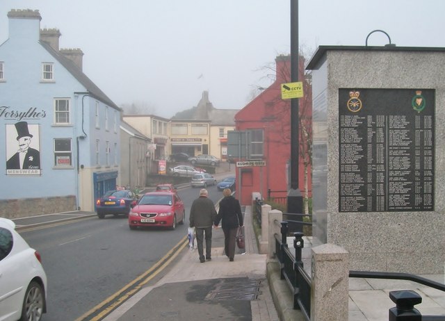
Image: © Eric Jones Taken: 20 Feb 2011
This is a view eastwards across the Aughrim River bridge. The memorial on the rights lists the names of the men and women of the Armed Forces and the RUC killed during The Troubles.
Images are licensed for reuse under creativecommons.org/licenses/by-sa/2.0
Image Location
Latitude
54.063426
Longitude
-6.005455