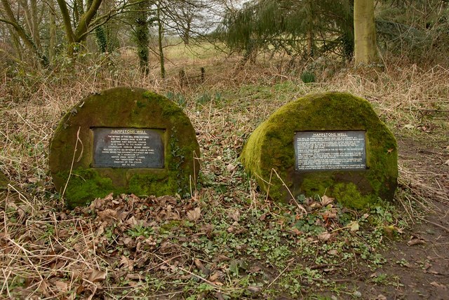
Hampston's Well
Introduction
The photograph on this page of Hampston's Well by Galatas as part of the Geograph project.
The Geograph project started in 2005 with the aim of publishing, organising and preserving representative images for every square kilometre of Great Britain, Ireland and the Isle of Man.
There are currently over 7.5m images from over 14,400 individuals and you can help contribute to the project by visiting https://www.geograph.org.uk

Image: © Galatas Taken: 22 Feb 2011
This well or spring possibly served iron age settlements at Burton Point and the Anglo-Saxon settlement of Burton about 900AD. The earliest known records are dated 1602/3 in the Manor Court book where it is referred to as Patrick's well , located on one side of the conygreave bounded by the mill, Denna Lane, and the shore. The constables of Burton were charged with cleaning the well each year and all able bodied men of Burton were required to help under pain of a fine of sixpence. By the 19th century it had become known as Hampston's Well after a family who had lived in Burton since the 16th century.

