Garlinge Old School Hall
Introduction
The photograph on this page of Garlinge Old School Hall by David Anstiss as part of the Geograph project.
The Geograph project started in 2005 with the aim of publishing, organising and preserving representative images for every square kilometre of Great Britain, Ireland and the Isle of Man.

There are currently over 7.5m images from over 14,400 individuals and you can help contribute to the project by visiting https://www.geograph.org.uk
Garlinge Old School Hall
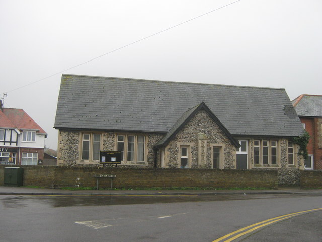
Image: © David Anstiss Taken: 20 Feb 2011
Hall at the junction of Dent-de-Lion Road and Garlinge High Street. Now used as a Village Hall. With meetings of the local Women's Institute and others. In the background is The Rodney Public House.
Images are licensed for reuse under creativecommons.org/licenses/by-sa/2.0
Image Location
Latitude
51.377823
Longitude
1.354915