Turkey Brook
Introduction
The photograph on this page of Turkey Brook by Martin Addison as part of the Geograph project.
The Geograph project started in 2005 with the aim of publishing, organising and preserving representative images for every square kilometre of Great Britain, Ireland and the Isle of Man.

There are currently over 7.5m images from over 14,400 individuals and you can help contribute to the project by visiting https://www.geograph.org.uk
Turkey Brook
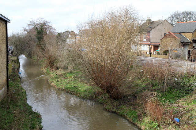
Image: © Martin Addison Taken: 12 Feb 2011
The brook rises on the outskirts of Potters Bar. Its valley is followed part of the way by the M25. It connects with the old course of the New River north of Forty Hill and, after passing under the Hertford road at this point, flows into the River Lea (Lee).
Images are licensed for reuse under creativecommons.org/licenses/by-sa/2.0
Image Location
Latitude
51.671095
Longitude
-0.041642