Hertford Road
Introduction
The photograph on this page of Hertford Road by Martin Addison as part of the Geograph project.
The Geograph project started in 2005 with the aim of publishing, organising and preserving representative images for every square kilometre of Great Britain, Ireland and the Isle of Man.

There are currently over 7.5m images from over 14,400 individuals and you can help contribute to the project by visiting https://www.geograph.org.uk
Hertford Road
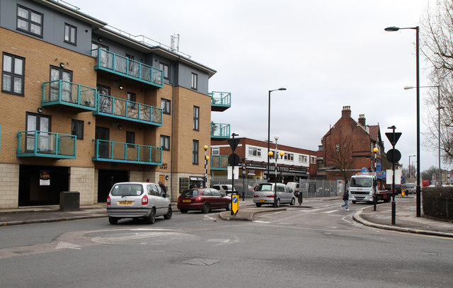
Image: © Martin Addison Taken: 12 Feb 2011
The A1010, seen at the junction with Carterhatch Lane. On the left is a very recent shops and housing development whilst further back, beyond the junction with Cedar Avenue is a tyre fitters and a what appears to be a one-time public house now in use as an Indian grocers shop.
Images are licensed for reuse under creativecommons.org/licenses/by-sa/2.0
Image Location
Latitude
51.659585
Longitude
-0.047054