Sutton Lane
Introduction
The photograph on this page of Sutton Lane by Thomas Nugent as part of the Geograph project.
The Geograph project started in 2005 with the aim of publishing, organising and preserving representative images for every square kilometre of Great Britain, Ireland and the Isle of Man.

There are currently over 7.5m images from over 14,400 individuals and you can help contribute to the project by visiting https://www.geograph.org.uk
Sutton Lane
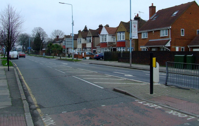
Image: © Thomas Nugent Taken: 21 Feb 2011
At the junction with Bath Road. See the warning notice on the lamppost here Image
Images are licensed for reuse under creativecommons.org/licenses/by-sa/2.0
Image Location
Latitude
51.471563
Longitude
-0.378203