The top of Buggen Lane
Introduction
The photograph on this page of The top of Buggen Lane by John S Turner as part of the Geograph project.
The Geograph project started in 2005 with the aim of publishing, organising and preserving representative images for every square kilometre of Great Britain, Ireland and the Isle of Man.

There are currently over 7.5m images from over 14,400 individuals and you can help contribute to the project by visiting https://www.geograph.org.uk
The top of Buggen Lane
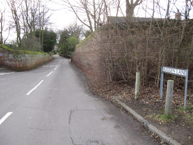
Image: © John S Turner Taken: 14 Feb 2011
Looking south-west down Buggen Lane from near its junction with Mill Street, on the left. Interestingly all the O.S. maps between 1882 and 1954 name this thoroughfare Prospect Road, and it is only in 1968 that the name Buggen Lane appears on the O.S. map.
Images are licensed for reuse under creativecommons.org/licenses/by-sa/2.0
Image Location
Latitude
53.291845
Longitude
-3.066602