Converted chapel on the B3268 near Sweetshouse
Introduction
The photograph on this page of Converted chapel on the B3268 near Sweetshouse by Rod Allday as part of the Geograph project.
The Geograph project started in 2005 with the aim of publishing, organising and preserving representative images for every square kilometre of Great Britain, Ireland and the Isle of Man.

There are currently over 7.5m images from over 14,400 individuals and you can help contribute to the project by visiting https://www.geograph.org.uk
Converted chapel on the B3268 near Sweetshouse
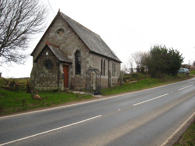
Image: © Rod Allday Taken: 20 Feb 2011
Dating from 1876 and Grade II listed http://www.imagesofengland.org.uk/Details/Default.aspx?id=70891&mode=adv. Called the Old Ebenezer Chapel. I understand that Ebenezer chapels followed a form of Primitive Methodism.
Images are licensed for reuse under creativecommons.org/licenses/by-sa/2.0
Image Location
Latitude
50.427175
Longitude
-4.697786