Red Rock
Introduction
The photograph on this page of Red Rock by David Smith as part of the Geograph project.
The Geograph project started in 2005 with the aim of publishing, organising and preserving representative images for every square kilometre of Great Britain, Ireland and the Isle of Man.

There are currently over 7.5m images from over 14,400 individuals and you can help contribute to the project by visiting https://www.geograph.org.uk
Red Rock
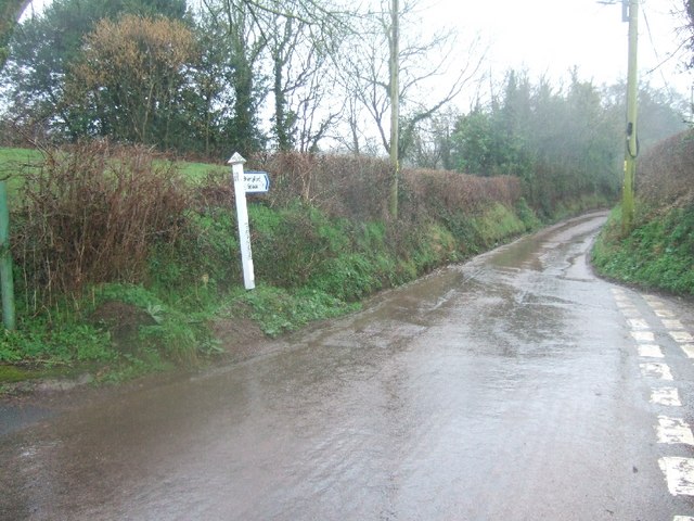
Image: © David Smith Taken: 21 Feb 2011
Many junctions of Devon country roads are marked with a sign indicating the name of the locality followed by a cross. Red Rock is an exception, as being marked by that name. The road beyond leads into the next gridsquare.
Images are licensed for reuse under creativecommons.org/licenses/by-sa/2.0
Image Location
Latitude
50.7806
Longitude
-3.52462