Recently built house, Cwmsyfiog
Introduction
The photograph on this page of Recently built house, Cwmsyfiog by Jaggery as part of the Geograph project.
The Geograph project started in 2005 with the aim of publishing, organising and preserving representative images for every square kilometre of Great Britain, Ireland and the Isle of Man.

There are currently over 7.5m images from over 14,400 individuals and you can help contribute to the project by visiting https://www.geograph.org.uk
Recently built house, Cwmsyfiog
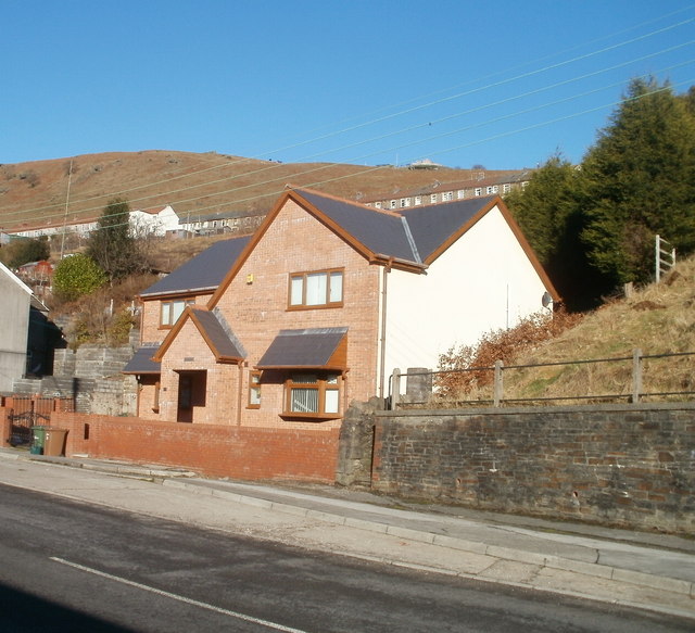
Image: © Jaggery Taken: 20 Jan 2011
Viewed from the edge of Bethania Pentecostal Church. http://www.geograph.org.uk/photo/2278548 There was no boundary sign nearby to determine whether the house is at the northern end of Upper Road, Cwmsyfiog, or the southern end of Queen's Road, New Tredegar.
Images are licensed for reuse under creativecommons.org/licenses/by-sa/2.0
Image Location
Latitude
51.712998
Longitude
-3.228793