Bridge under the A9
Introduction
The photograph on this page of Bridge under the A9 by Richard Webb as part of the Geograph project.
The Geograph project started in 2005 with the aim of publishing, organising and preserving representative images for every square kilometre of Great Britain, Ireland and the Isle of Man.

There are currently over 7.5m images from over 14,400 individuals and you can help contribute to the project by visiting https://www.geograph.org.uk
Bridge under the A9
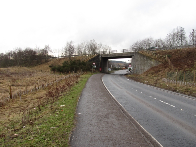
Image: © Richard Webb Taken: 15 Feb 2011
This bridge has now been incorporated into a split-level junction which has removed the lethal right turn at Bankfoot.
Images are licensed for reuse under creativecommons.org/licenses/by-sa/2.0
Image Location
Latitude
56.497176
Longitude
-3.509144