16-18 West End, West Haddon
Introduction
The photograph on this page of 16-18 West End, West Haddon by John Brightley as part of the Geograph project.
The Geograph project started in 2005 with the aim of publishing, organising and preserving representative images for every square kilometre of Great Britain, Ireland and the Isle of Man.

There are currently over 7.5m images from over 14,400 individuals and you can help contribute to the project by visiting https://www.geograph.org.uk
16-18 West End, West Haddon
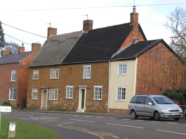
Image: © John Brightley Taken: 23 Mar 2005
These houses are grade II listed buildings. The listing describes them as 'probably early c18th'.
Images are licensed for reuse under creativecommons.org/licenses/by-sa/2.0
Image Location
Latitude
52.34185
Longitude
-1.078157