King's Wood exit to Orchard Road
Introduction
The photograph on this page of King's Wood exit to Orchard Road by Robin Webster as part of the Geograph project.
The Geograph project started in 2005 with the aim of publishing, organising and preserving representative images for every square kilometre of Great Britain, Ireland and the Isle of Man.

There are currently over 7.5m images from over 14,400 individuals and you can help contribute to the project by visiting https://www.geograph.org.uk
King's Wood exit to Orchard Road
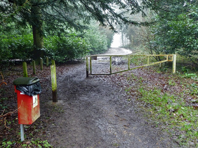
Image: © Robin Webster Taken: 20 Feb 2011
King's Wood is a Croydon Borough public open space, if a wood can be called open.
Images are licensed for reuse under creativecommons.org/licenses/by-sa/2.0
Image Location
Latitude
51.326511
Longitude
-0.064109