2011 : View from Mount Hill Road, Hanham
Introduction
The photograph on this page of 2011 : View from Mount Hill Road, Hanham by Maurice Pullin as part of the Geograph project.
The Geograph project started in 2005 with the aim of publishing, organising and preserving representative images for every square kilometre of Great Britain, Ireland and the Isle of Man.

There are currently over 7.5m images from over 14,400 individuals and you can help contribute to the project by visiting https://www.geograph.org.uk
2011 : View from Mount Hill Road, Hanham
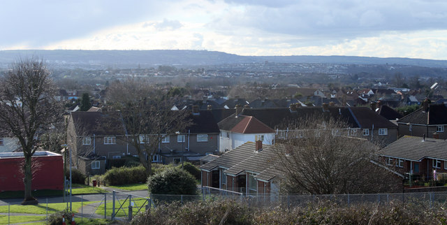
Image: © Maurice Pullin Taken: 14 Feb 2011
Most of Hanham is built on slopes from the River Avon up to Kingswood. There are occasional views of south east Bristol. This is over Brislington and Stockwood with Dundry Hill in the background. In the original version it is possible to see Dundry church Image left of centre on the horizon.
Images are licensed for reuse under creativecommons.org/licenses/by-sa/2.0
Image Location
Latitude
51.450374
Longitude
-2.509809