West Markham
Introduction
The photograph on this page of West Markham by Richard Croft as part of the Geograph project.
The Geograph project started in 2005 with the aim of publishing, organising and preserving representative images for every square kilometre of Great Britain, Ireland and the Isle of Man.

There are currently over 7.5m images from over 14,400 individuals and you can help contribute to the project by visiting https://www.geograph.org.uk
West Markham
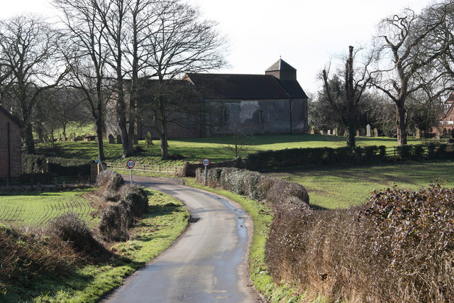
Image: © Richard Croft Taken: 16 Feb 2011
Parson Lane and All Saints' church http://www.geograph.org.uk/photo/55763 at West Markham
Images are licensed for reuse under creativecommons.org/licenses/by-sa/2.0
Image Location
Latitude
53.246511
Longitude
-0.91976